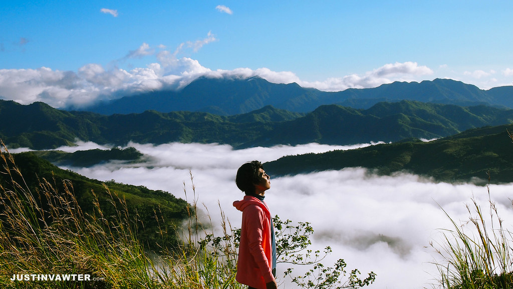
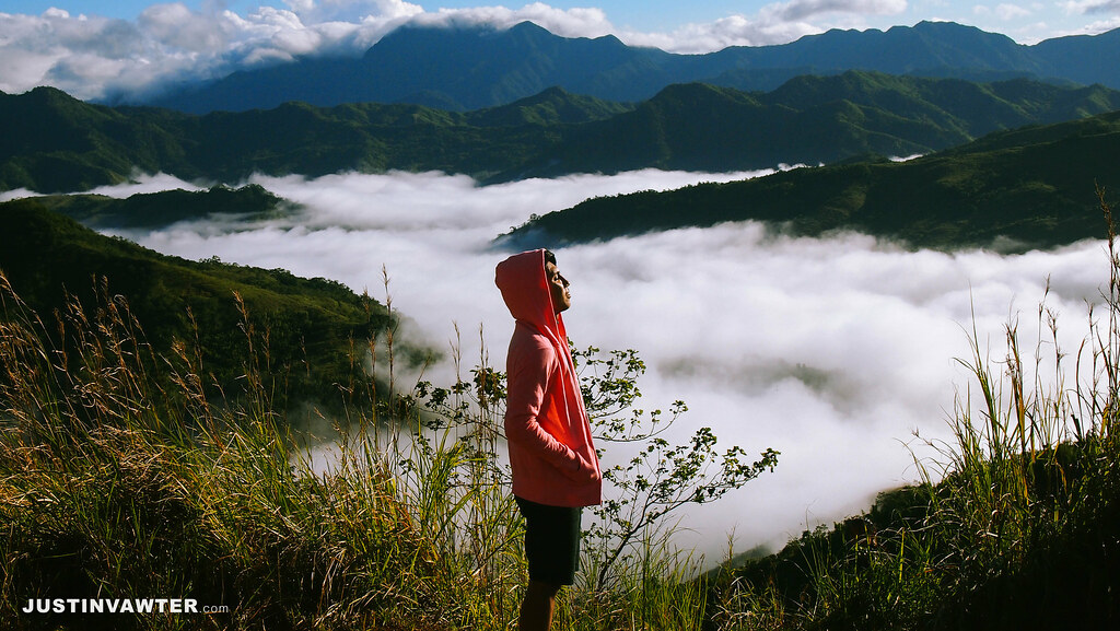
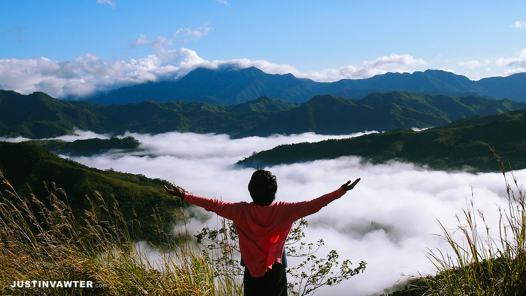
I have always wanted to have that sea of clouds experience but I always fail. And who would have thought that I’ll be able to experience that at the most unexpected place. Since it was a holiday, I decided to join my friends in their hike at Mt. Batolusong, Tanay, Rizal. It was originally an overnight hike which means I’ll be able to finally witness some sea of clouds, however it was changed to a day hike instead. I know that I won’t be able to see it anymore and that I’ll just have to try again next time but luck was on our side. I now present to you the Sea of Clouds at Mt. Batolusong, Tanay, Rizal.
To give you an idea, here’s a brief background of Mt. Batolusong:
Major jumpoff: Brgy. San Andres, Tanay, RizalLLA: 645 MASL / 780 MASLDays required / Hours to destination: 1 day /1.5h (Mapatag); 3-4 (Susong Dalaga Peak)Specs: Minor climb, Difficulty 3/9, Trail class 1-3Features: Grassland slopes, views of Laguna, Rizal, and Quezon
Source: Pinoy Mountaineer
The Route to the Clouds
Right after our hike at Mt. Balagbag (read the full updated guide here), I just went home to pack my stuff and went directly to our meeting place at McDonald’s Sta. Lucia. Call time was 2:00 am. From Cubao, just ride a jeepney going to Cogeo and drop off at Gate 2. Fare is Php 24. From there walk to your right until you see a jeepney terminal going to Brgy. Sampaloc. It’s just beside the City Mall of Antipolo. One mistake of ours is that we didn’t know that the first trip is around 5:00 am so we have to wait for a couple more hours. Good thing there’s a bakery nearby.
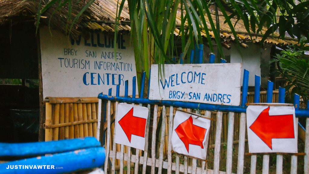
Ride the jeepney and tell the driver to drop you off at “Batangas/Batangasan”. Fare is Php 42 and it’s a 45-minute to an hour ride. From there you’ll see an arch that says Brgy. San Andres. Trikes are available which will drop you off at the registration. Fare is Php 30/head.
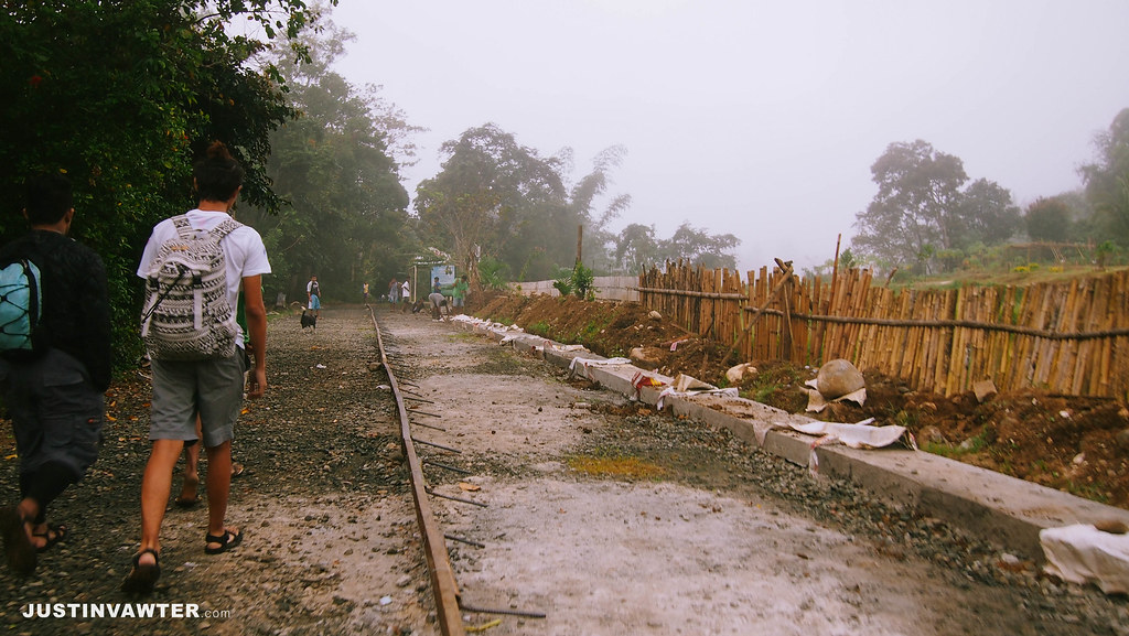
Registration fee is Php 20/head + additional Php 20/head if you’ll go for the Rangyas Peak which is considered the summit. Guide is required which has a fixed rate of Php 500/5 pax.
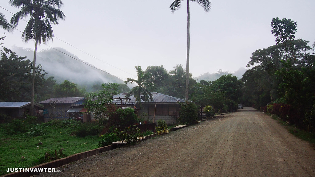
Silent Hill
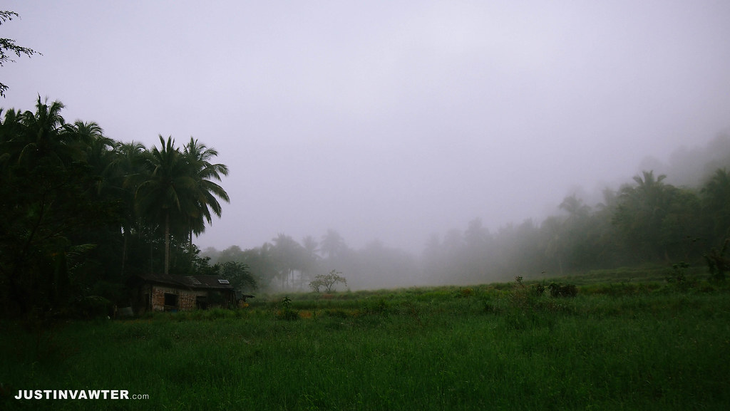
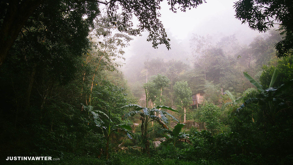
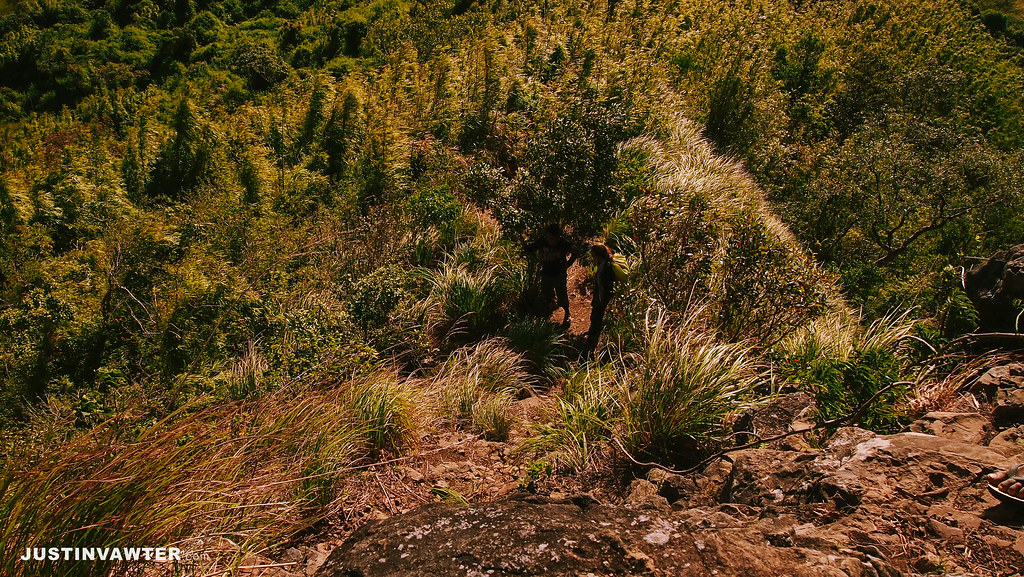
The route to the summit reminds me of the game Silent Hill. It was just creepy because of the fog. And it’s so cold! I am already wearing a fleece heattech plus a jacket but I can still feel the cold inside.
Sea of Clouds
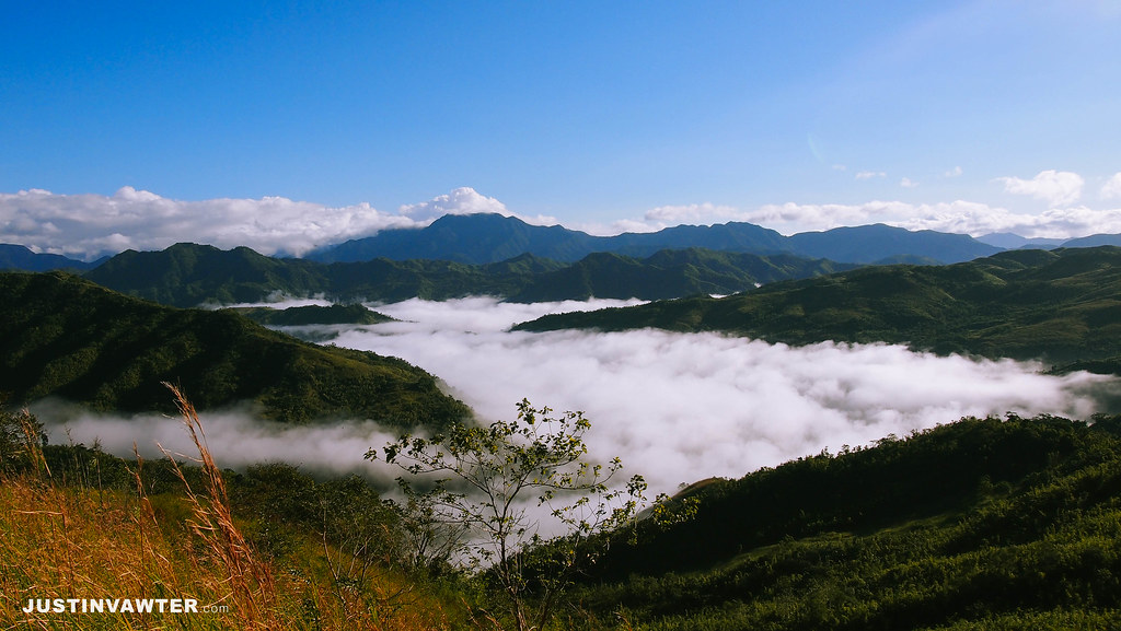
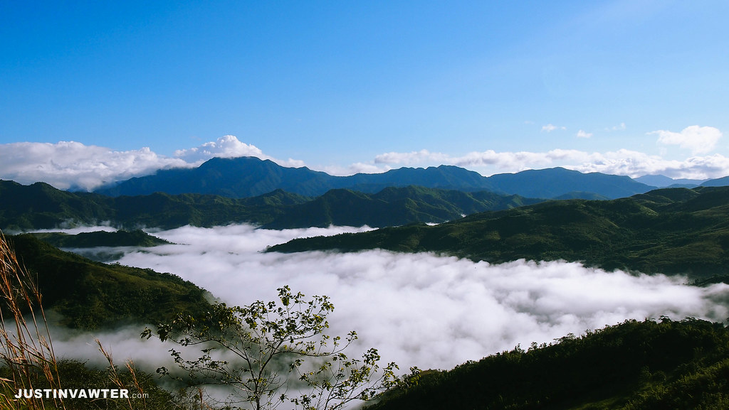
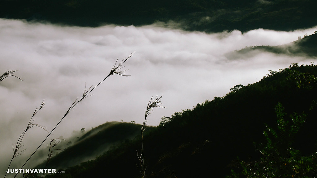
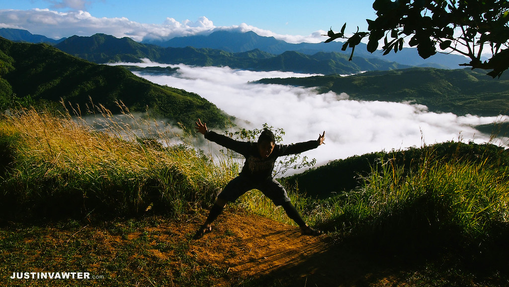
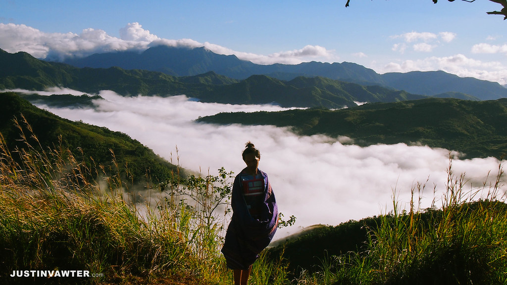
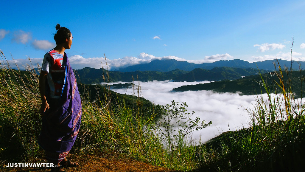
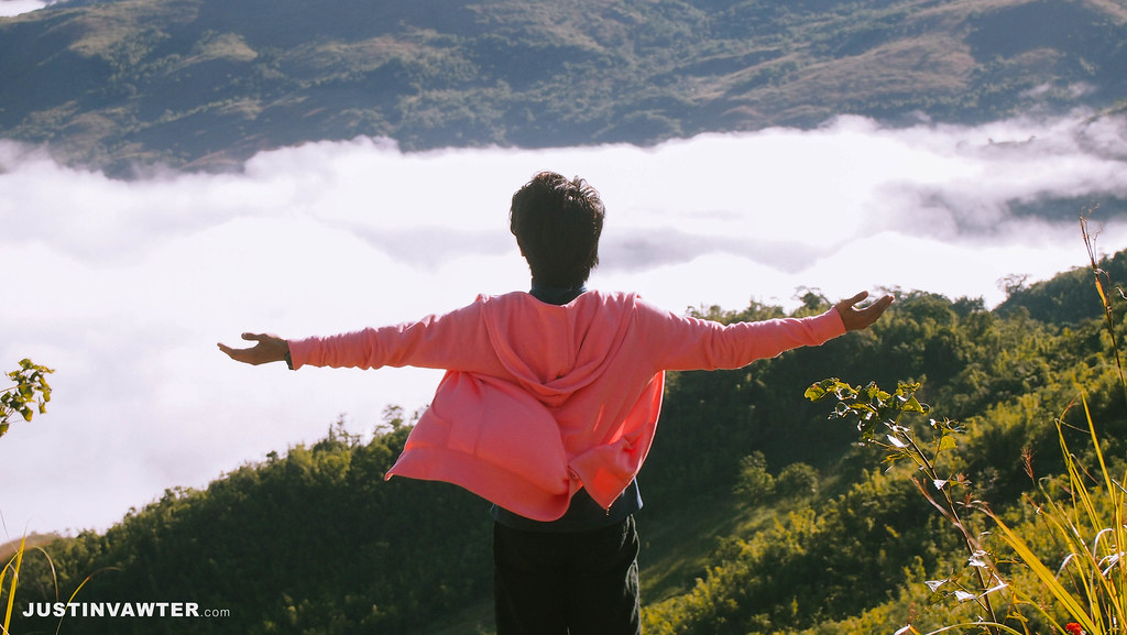
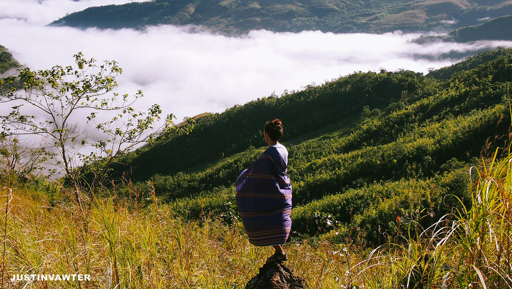
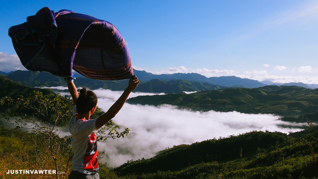
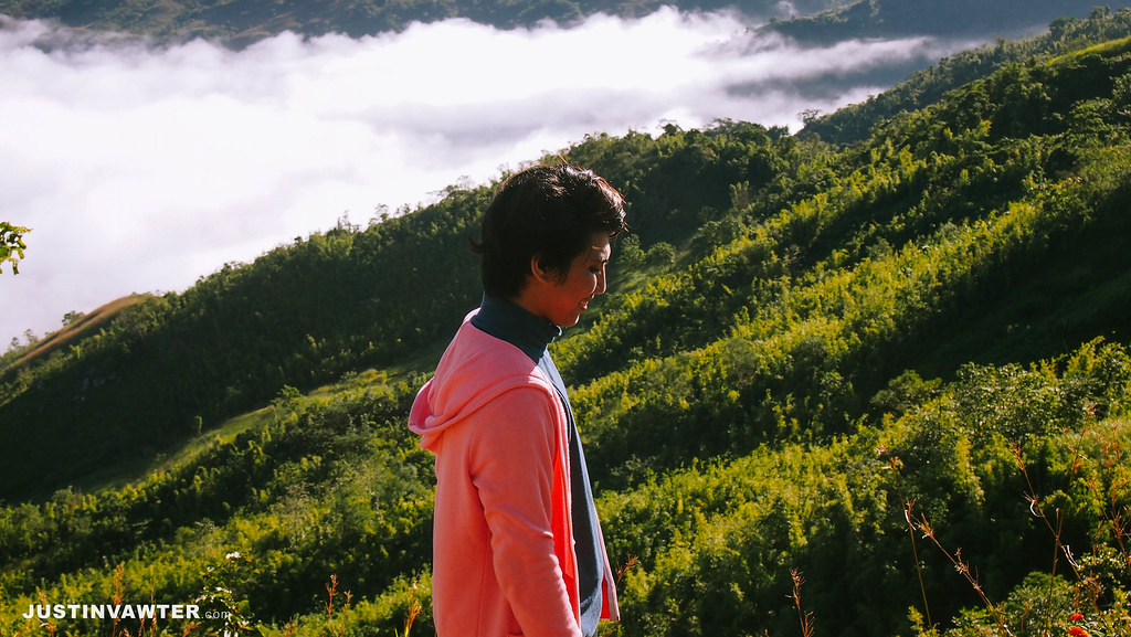
Finally! I was able to witness the majestic Sea of Clouds! It was pure luck since we arrived at the Duhatan Ridge around 8 am already and the sea of clouds were there until 9 am. It was unexpected considering that it was already hot by that time. Thank you Mt. Batolusong for fulfilling one of my dreams. Ha ha!
Mapatag Plateau and Rangyas Peak
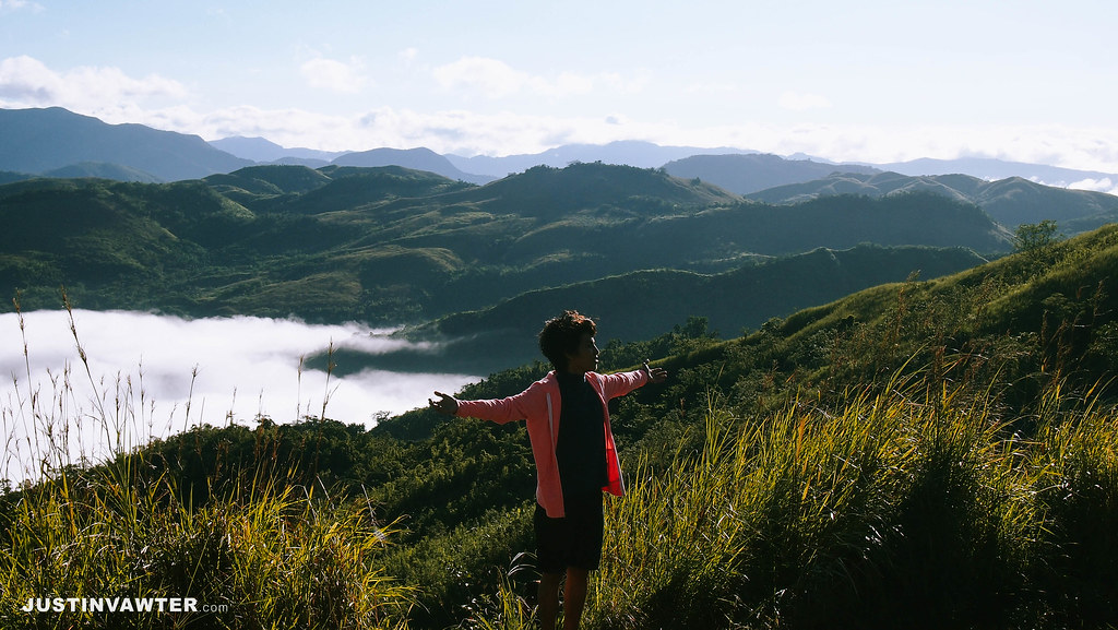
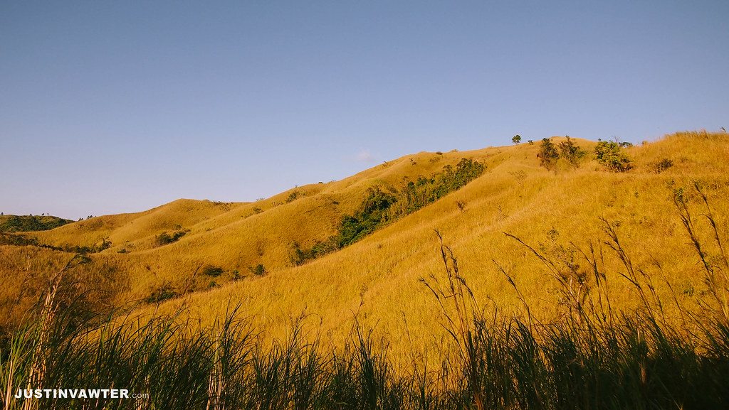
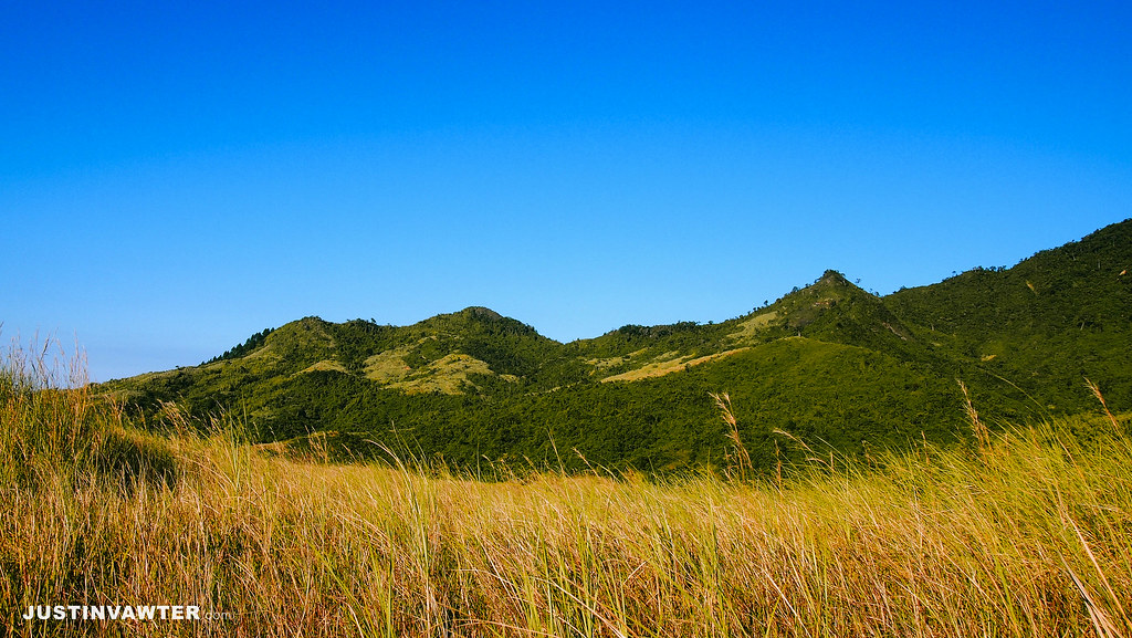
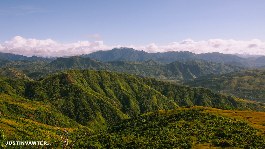
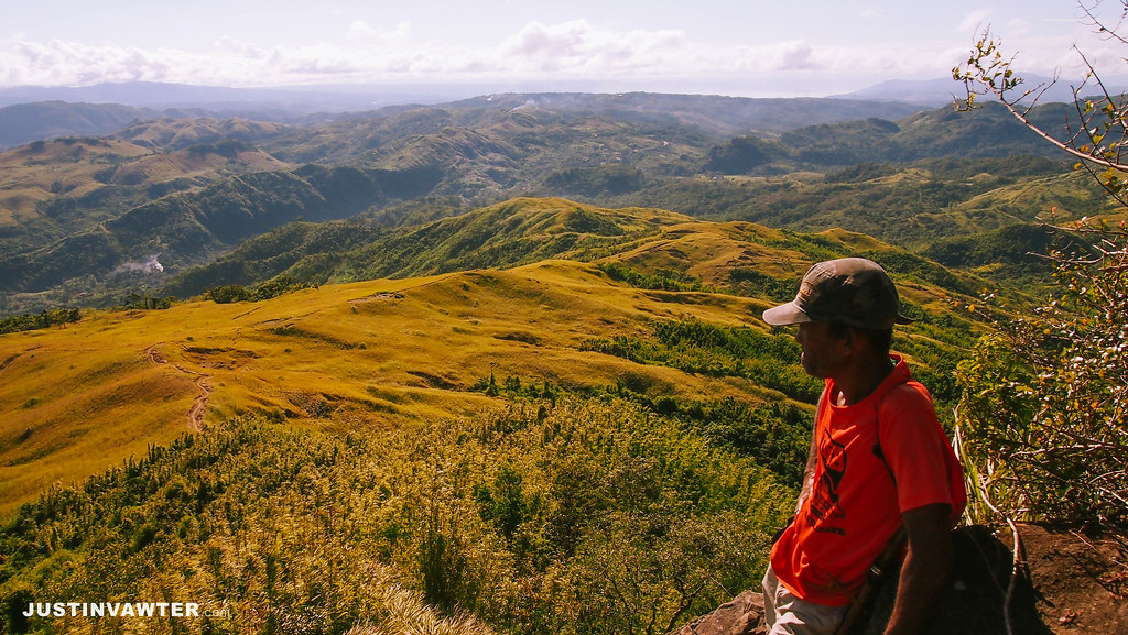
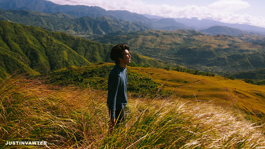
According to our guide, the place was named Mt. Batolusong because of the bato or rocks that the natives used for cooking. The Rangyas Peak was named after Rangyas though I cannot exactly recall who he was. The trail to the summit will give you a view of the Mt. Susong Lola, Mt. Susong Nanay and Mt. Susong Dalaga which roughly translates to Grandma’s Breast, Mother’s Breast and Lady’s Breast. I instantly got why it was called that way. Hint: look at the tip or “nipple”!
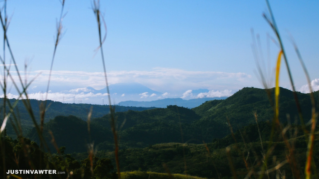
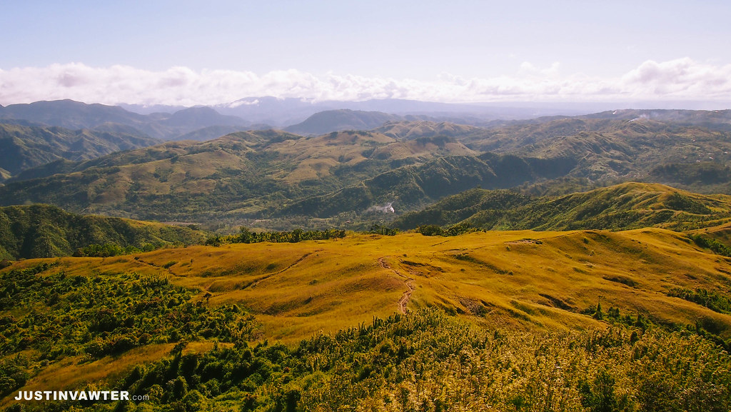
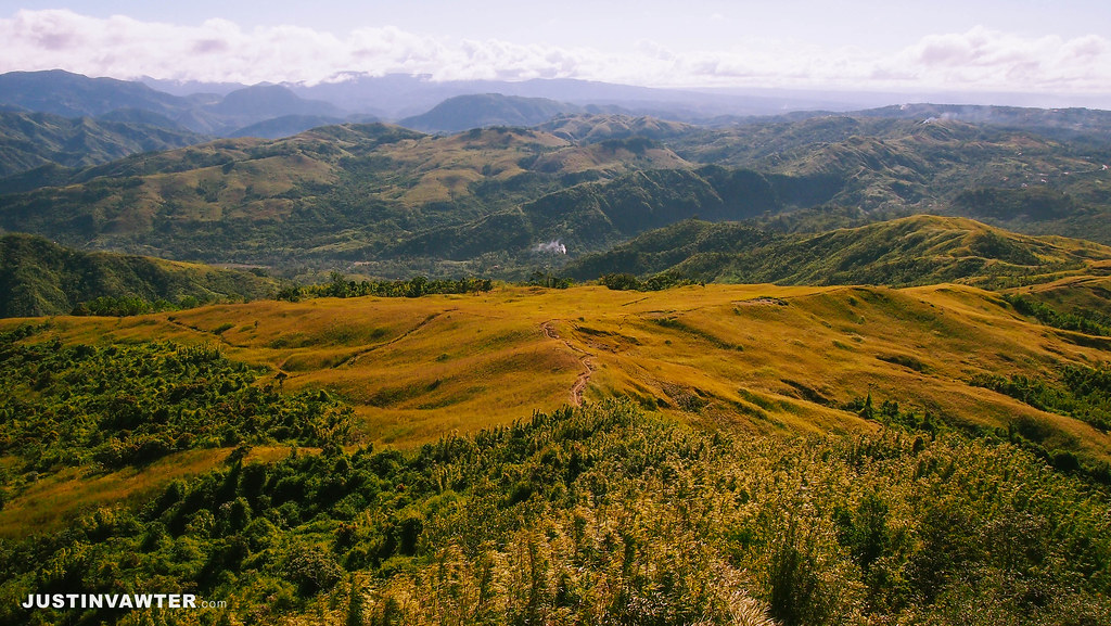
Mapatag Plateau is considered the camp site and the summit will give you a wide view of the Sierra Madre. It looks like a combination of Mt. Gulugod Baboy and Mt. Balagbag.
Kay-Ibon Falls
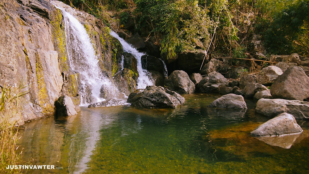
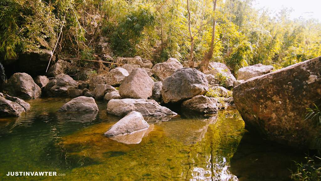
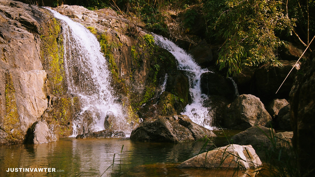
The most popular side trip to the place is the Kay-Ibon Falls. It’s just a small place but the water is so cold and clear. It’s also close the highway so you can just exit from there instead of going back to the registration area. Just let you guide know since they are required to log you out.
Back Home + Sidetrips
We were able to ride a jeep back to Cogeo by around 1pm. If you still have time and money, you may want to hike Mt. Sembrano which is near the place or go to Pililia Windmills.
Itinerary
This would be the ideal itinerary with the time adjusted to the schedule of the trips. This is via Cubao but you can also ride an fx in Shaw Blvd. I’m not sure the route in Shaw Blvd but it’s the best way if you plan on going early. Remember first trip in Cogeo is 5:00 am.
0400 ETD Cubao / Ride jeep going to Cogeo
0500 Ride jeep to Brgy. Sampaloc. Drop off at Batangas
0600 Ride tricycle going to registration area
0630 Start trek to Mt. Batolusong
0800 ETA Duhatan Ridge / Sea of clouds
0830 Start trek to Mapatag Plateau / Rangyas Peak
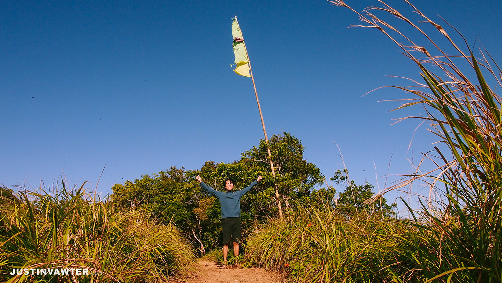
0915 Summit
0930 Start descent / trek to Kay-Ibon Falls
1100 ETA Kay-Ibon Falls / Lunch
1200 Pack up
1230 Back to highway / ride jeep back to Cogeo
0200 Back to Cubao
budget breakdown
Cubao jeep to Cogeo Gate 2 – Php 24
Cogeo Gate 2 jeep to Batangas- Php 42
Tricycle to Registration – Php 30
Registration Fee – Php 40 (Php 20 reg fee + Php 20 for Rangyas Peak)
Guide fee – Php 500 (Php 125/ group of 4)
Batangas jeep to Cogeo Gate 2- Php 42
Cogeo Gate 2 jeep to Cubao – Php 24
Cogeo Gate 2 jeep to Batangas- Php 42
Tricycle to Registration – Php 30
Registration Fee – Php 40 (Php 20 reg fee + Php 20 for Rangyas Peak)
Guide fee – Php 500 (Php 125/ group of 4)
Batangas jeep to Cogeo Gate 2- Php 42
Cogeo Gate 2 jeep to Cubao – Php 24
Total expense: Php 333
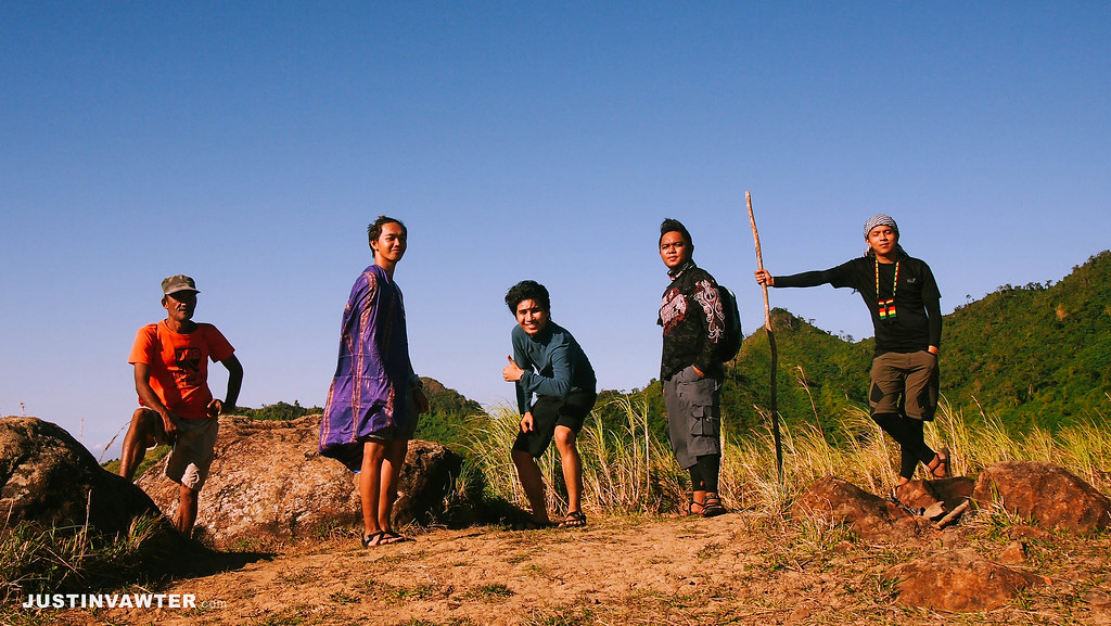
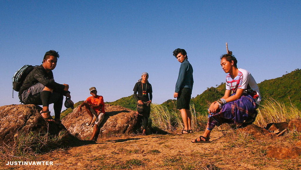
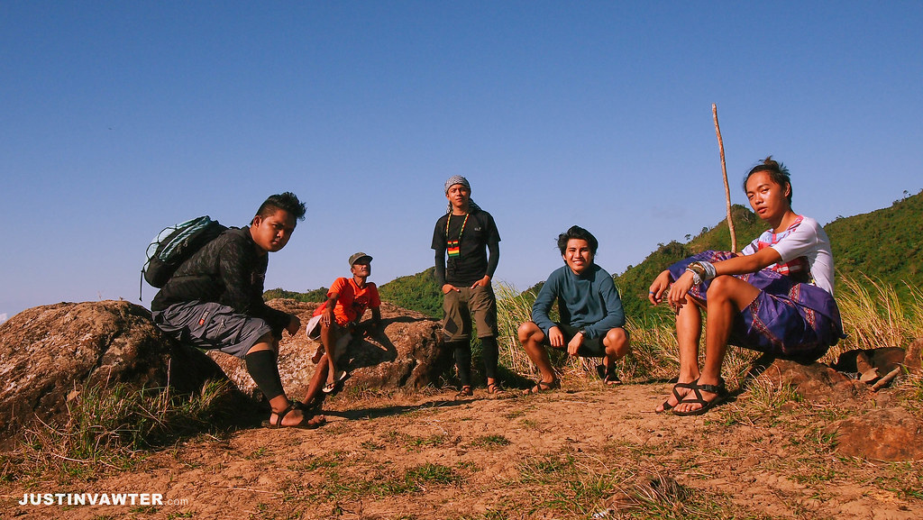
(L-R): Jack, our guide (sabi ng pose!), Marco, Justin, Er
Shoutout to the people behind this climb. Thanks Jack, Er and Marco!
Cheers~!
– Justin –




Wow! It's so beautiful. What camera and software you use to edit your pics? 🙂
What font did you used in every picture?
Beautiful shots and equally stunning sceneries. The jump shots are awesome!
I use an Olympus E-PL 3 and my phone camera Xiaomi Redmi 1s. For software, I use lightroom on my laptop and vsco on my phone. 🙂
I just use Arial 🙂
thank you so much!
Hi! Did you climb up to Rangyas Peak? 🙂
yep. the flag is the at the summit of Rangyas Peak
ang ganda thanks for this sobrang helpful..
ang ganda thanks for this sobrang helpful..
allowed daw po ba ang overnight???tnx po 😉
hi, pano pagmagtravel by car? saan pwedeng iwan? we also want to go to kay-ibon falls thank you! have a nice day!
Thanks sa guide na to justin! it helped us a lot. na conquer na namin ang Mt. Batolusong. hehehe! More power sa blog na to! 😀
Sir may plan kami uamkyat din ngayon feb jan batolusong.. lagi po kaya ang sea of clouds jan? and di po ba maputik sa trail kahit foggy? 🙂
This comment has been removed by the author.
salamat po sir for this write up… ganda ng mga shots! galing!
This comment has been removed by the author.
Grabe ang ganda po! Hat's off sa mga shots m/
Your blog is so helpful! Baka po bisitahin namin to after thesis defense 😀
Hi, thank you for sharing this. Finally, nakahanap din ako ng updated itinerary 🙂
Thanks for sharing, My friends and are going there this coming Saturday.
sir .. san po banda sa cubao yung sakayan pa cogeo gate 2? Please reply po sir
sa may aurora cubao meron sakayan ng Cogeo Gate 2 fx or jeep
Maam pde sumabit sa tour guide fee?
Maam pde sumabit sa tour guide fee?
Hi Sir,
Need pa po ba ng permit to climb jan Sir? May contactn umber po ba kayo na mabibigay para ma contact namin yung kahit sinong guides jan? Salamat po
of how beautiful images. great white clouds. I really like this photo. There Will Be hopefully delicious food again. thanks for sharing..
The angles of your shoot are really amazing 🙂 Hope to climb with you soon 😉
Hi. Plan ko din pumunta tomorrow. Who will I look for?
Nice Justin! I love your blogs about PH mountains. Good job! See you at the mountain!
Grabe ang ganda!!! I've been to Tanay once pa lang but I wasn't aware na ang dami pala maganda sa Tanay.
Thank you! Awesome photos!
Thank you! Awesome photos!
Hi, nice post. I'd like to know how deep is the water in the kay-ibon falls? thanks 🙂 more power!
Maganda po dito super, parang sea of clouds talaga siya tapos napaka hospitable ng mga villagers. pero hndi pa ko nakakapunta
Hi! What if i'll use car for transportation? Where do i'll go first to have our tour guide? Please reply asap my friends and i will hike this week 🙂
good day…accesible ba for private car ang mt batolusong….tnxs
Hello – May steep at mabatong portions ba dito sa hike na to? (like paakyat at pababa). May bouldering ba na ginawa kayo?
Thanks!
Your blog is much helpful! Thanks for sharing this! :)Beautiful photos, hope we get lucky as well with the sea of clouds
OMG Guys gusto ko sumama sainyo ang cheap ng expenses niyo. hahaha this blog is so helpful 🙂
mapuntahan nga din to ito pala yung batolusong na sinsabi sa akin noong 2012 na mahirap dati ang pagpunta.
Hi sir. Ask ko lng po pwde po ba mag overnight sa mt. Batolusong? And magkano po fee sa guide? Thanks. 🙂
Hi ! ok po bang magOvernyt dto ?
Meron po bang pwedeng i contact dun?
Hi! I would like to know if there are Guides we can contact for this hike? There are still few questions we want to ask and my team is quite a huge number so we really need assistance. hope you can help us. Thanks
will be there tomorrow!! #AkyatNiTeppy
Hi, Nice write-up! You have mentioned that this trip was supposed to be an overnight hike. Magkaiba ba yung rates ng tour guide kung overnight? Do you have an idea how much? Thanks :))
pre, natuloy ba kayat niyo and may number ba kayo ng registration booth or nung guide? akyat kami this Sat pero di namain alam kung may NPA advisory or ala, baka sayng lang kasi pagpunta namin sa reg area.
Decided to hike this mountain. Hope it is open this weekend and not affceted by the elections. Excited na ko!
Hi! Tanong lang po kung anong oras ang last trip in Cogeo going to Brgy. Sampaloc?
Hi. Ask ko lang kung safe ang trail at di mahirap para sa 7 years old na bata.
Thanks!
Hi po… Is there anyone na merong number ng guide po? Balak kasi namin magtree-planting dun and dapat makausap muna namin yung guide para alam namin what to bring… Thank you.
Hi po anong month po kyo umakyat dito?
Just went there last weekend, view is amazing. What I dont like is the fees, Guide per 5 person is P1250 (overnight) + 20 registration fee each (campsite, + P20 pag inakyat summit). masyadong mahal, bukod pa bayad pa sa cave which it costed us another P400. ok lang tumulong sa mga lokal wag lang sana masyadong mahal. yun lang. hehe
this blog is okay, only lacking is safety issues… when we got there in cogeo around 4am getting ride to drop point.. we're being overcharged ng pamasahe, biruin mo gusto ng jeepny Php 100/person.. to think monopolize ng jeepny ung byahe, I feel cheated and its not fair.. so I negotiated for less.. kaso every time I tried to negotiate.. irritated cla (barker and driver)to the point na nagkakasigawan n.. mabuti I have my bro to watch my back.. he gave me warning, sabi nia "kuya hinay hinay lang"… so instead of insisting, give in nalang.. napakadilim ng terminal ng jeep n un walang street lights, walang police or barangay outpost.. so mahirap na "magripuhan"… to groups planning for this, make sure hindi kau puro babae, its not safe.. by the way 6 kame sa group mga barako..
HI. I'm just wondering how you got your guide and how much you paid for the guide? Thanks. Nice blog by the way.
Thanks for this!
I agree. Actually, sana nga maging staple sa travel blogs ang tungkol sa safety ng lugar.
Hi, do they have any parking space?
What time/season magandang pumunta? ung kita yung sea of clouds?
Dyan ako na iinis sa overcharges ng mga guide sa mga hikers e. Kng wlaang aakyat wala dn nmn silang kita. Sana ung saktuhang oresyo lng.
Me and my group was there yesterday (Sept.18,2016) Guide fee charge for day hike 500.00/group (5pax), 700.00/group (5pax), additonal charge if more than 5pax ang group.
Thanks !!!! 😀 madami bang puno sa pag akyat? 😀
Thanks !!!! 😀 madami bang puno sa pag akyat? 😀
Hi Justin, if you do not mind, what filters do you use on VSCO? So pretty the pictures!!! 🙂
Hi Justin,
Is there parking space there? I'm planning to bring my car. Thanks!
Hi Justin,
Thanks for this! Super informative. Though I do have a similar question with Eric. Is there parking space there? And is the road leading to the foot of the mountain a rough road? Or will medium sized Vios be ok to drive in? Thanks so much!!
Hi Serica,
I was there last Saturday (October 15, 2016). Yes, there are parking slots. I brought my Mazda 2 and the only rough patch was after you turn left in Brgy. San Andres. The rough patch was unexpectedly smooth (considerably).
Note: Waze to Mt. Batolusong isn't accurate. You have to drive farther along Marcos Highway. (If coming from Manila > Marikina > Antipolo), You'll pass by the entrance to Masungi Georeserve to your right. Then farther ahead to your left will be the entrance to Brgy. San Andres. You'll notice that road gets wider and when we went there, there were several tricycles parked. There are sari-sari stores as well so it should be hard to miss.
Parking Fee (regardless of where you park): Php 50.00
Registration Fee: 40/pax
Guide Fee: 500
Note: There's no signal there that's why you can't find contacts.
FYI: We went there last weekend Nov 5-6 for overnight and we paid 1250 for group of 5. We were 7 so we paid 2500.
(That's for Guide Fee)
Tanong lang po Do we need to contact them before going there?
Hi Eric, thank you for the info with regards to bringing your private car . Btw, did you have a day-hike too, and how long would it take you to go back to the parking lot if you choose to pass by Kay-Ibon falls downhill? Thank you!
Hi Kurt, we did a dayhike as well. We passed by Kay-Ibon Falls, spent roughly an hour dipping. We arrived at the highway about 3pm. From highway, it'll take about 20minutes tricycle ride back to Brgy. Hall. We did a really "chillax" hike because the friends that I brought there were all newbies. Goodluck with your hike! 🙂
Hi Sir, baka po may contact kayo sa guide?
Hi ma'am goodmorning, ask ko lang if may contact ba kayo ng naging guide niyo nung umakyat kayo?me and my friends are planning to climb this mountain dis january..thank you
Nice Pic
Hi, do they have any parking space?
Do you have the contact number of the tour guide? Pwede ba siya for beginners?
Ask lang if my contact person kayo sa camp.. For confirmation if safe mgtrek.
Hi all! safe ba mag iwan ng motorcycle sa jump off or registration? Penge na din po ng contact info ng guide. We are planning to go there on the 9th for a day hike. TIA
will try this tomorrow woohoo
here's my documented trip to mt batolusong last week: http://www.wkadventures.com/outdoor/mt-batolusong-day-hike/
share ko lng din mgandang xprience ko s mt. BATOLUSON (batonglusong) for the 4th tym,.. nagenjoy kmi lhat,buti nlang my tshirt and suvinirs na, na mabbili ngaun,..
npkahospitable at mbbait ng mga nkamingle nmin jan s campside,.. godbless all,..
Jusko walang sagot sa tanong na contact number
guys, mag hike kami sa Mt Batolusong on Friday, April 7. Sino gusto sumama?
for those who would like to join: text text po tyo: 0998 987 8186. Thankee! 🙂
Wala daw pong Signal dun thats why there's no person of contact as well as mobile phone. 🙂
Not sure if you’re aware that this post is actually what prodded me to go ahead and do Batolusong (though Angel Locsin did give me the idea). And thanks to this my friends and I had something to use for a guide. I am so envious of you because you guys were able to see the sea of clouds; we weren’t as fortunate.
thank you so much Marge! I guess we were really lucky to see the sea of clouds. It was also my first time!
Hello po ask ko lang if pwede mag overnight??? Salamat
hi, may ask kung may contact person kayo sa mt. batolusong? tnx
Still reading this in 2018 😄 you haven’t been actively climbing mountains Mr. Busy-pants ^^ more powerrrrr
Your blog is very informative as we’re planning to go to batolusong-DIY.
Good DAY! Ask ko lang Is this the Mountain that I see here in S.M. Marikina The Lady shaped ONE? IS Batolusong different from Susong Dalaga? Thank you and GOD BLESS.,.,.,
Good DAY! Ask ko lang Is this the Mountain that I see here in S.M. Marikina The Lady shaped ONE? IS Batolusong different from Susong Dalaga? Thank you and GOD BLESS.,.,., 3 peaks of Mt. Batolusong, namely Rangyas peak, Susong Dalaga, and Radar.